The Most Scenic Road trip: Driving Route 40
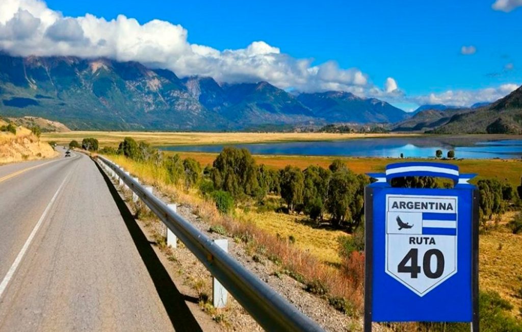
Argentina’s Route 40 is one of the longest and most impressive scenic drives in the world, taking you 3,000 miles alongside the Andes Mountains. With its highest point at more than 16,600 feet (5,061 m), it breaks the world record for the highest national road. The route goes from the southernmost tip of Argentina to the Bolivian border and so the terrain is hugely diverse, from winding mountain passes to expansive open spaces.
Equivalent to Route 66 the “Mother road” in the United States, route 40 is the ultimate Argentine road trip, made famous by its role in Che Guevara’s ‘The Motorcycle Diaries’. It crosses 18 important rivers, 20 National Parks and Natural Reserves and connecting 11 provinces: Santa Cruz, Chubut, Río Negro, Neuquén, Mendoza, San Juan, La Rioja, Catamarca, Tucumán, Salta and Jujuy. On this spectacular route, you’ll pass through everything from wetlands to breathtaking glaciers.
Unesco World Heritage Sites along Route 40
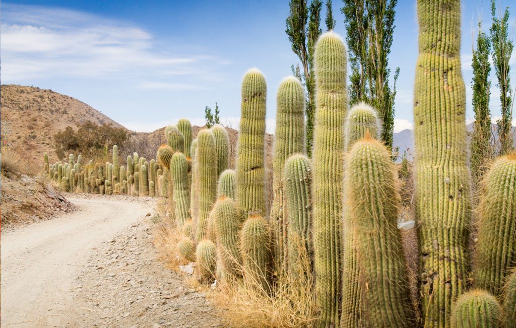
Along its entire length, Route 40 crosses incredible landscapes. Among its main attractions, there are several sites that are considered world heritage.
• Los Glaciares National Park: Its natural beauty made it appropriate the UNESCO title. The ice field comprises a vast region of the mountain range. The absolute “star” of all glaciers is the Perito Moreno Glacier, over the south branch of Lake Argentino. It has an imposing front wall of 5 km. and it is 60 meters tall. But there is an even bigger one: the Upsala Glacier,10 km. wide and 50 m. tall. At the north of the Park, another gem: Mount Fitz Roy, a true challenge for mountain climbers with its 3,375 meters.
• Cave of the painted hands: It is an archaeological site in Santa Cruz and, due to its antiquity, continuity over time, beauty and conservation, it was declared a unique pictorial complex in the world. The archaeological and paleontological importance of the site lies in the fact that these paintings of hands, animals and geometric figures made on the rocks are considered the oldest expressions of the South American people. Even in the region, near the Perito Moreno National Park, there are vestiges that demonstrate the existence of life from about 14 thousand years B.C.
Specialists distinguish three stylistic types. The oldest, dating back 9,500 years, shows negatives of hands, hunting scenes and fences with snares, rituals and herds of guanacos. The next one goes from 7,000 to 3,000 years ago and there we can see negative hands, groups of pregnant guanacos and some amphibians and ñandués, and feline figures. The last group, 2,500 years old, shows human figures, schematic hands, geometric figures, concentric circles, zigzag lines, all in vibrant red.
• Los Alerces National Park: The larches that inhabit the forest are one of the longest-lived species on planet Earth. Its thousand-year-old forest earned it the distinction. The alerce trees are massive trees from the cypress family that resemble those of Sequoia National Park in California, United States. The largest known tree in the park is 187 feet (57 m) tall and 7.2 feet (2.2 m) in diameter. It is estimated to be 2,600 years old. The alerce trees are the second-longest living species of trees in the world.
The most popular alerce forest is located on the northern end of Lake Menendez. Boat tours to this region allow visitors to experience this magnificent forest and the park's largest known tree.
The national park is an excellent place to hike and explore the remarkable wilderness.
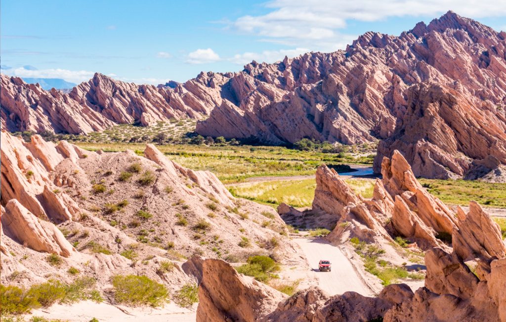
• Ischigualasto Provincial Park: Also known as the Moon Valley "Valley of the Moon", in San Juan; Talampaya National Park, in La Rioja. Both parks shelter archaeological and paleontological treasures. Ischigualasto covers 63 thousand hectares and only a very limited area is available for tourists; the rest, know it, is the subject of permanent study and research, the exclusive territory of the wise. The visit is only carried out with a guide, who is in charge of illustrating the most relevant aspects that the landscape shows: the amazing Bocce Court where countless spheres of stones are scattered; the figures of the Submarine (with two well-differentiated upper parts) and the Mushroom (with a single wider part); the little towers or watchtowers, on the crest of another mound; The worm; the Los Colorados wall and its ocher yellow plinth, whose colors shine more intensely at sunset; the grayish blue hills, and so many other lunar landscapes that the valley keeps.
Attached to the entrance to the Park is the headquarters of the Museum of Natural Sciences of San Juan. The function of the museum lies in showing the scientific importance of Ischigualasto, which are the most outstanding species that have been found and what the work of a paleontologist is like with the fossil remains found in the place. Biology and geology students are in charge of transmitting their experiences in this field in a didactic and entertaining way for any age. And the boys in particular have a blast; Full of enthusiasm, they ask questions that adults don't always dare to ask.
• In the museum you can see the replica of the Eoraptor lunensis, the great discovery of the Ischigualasto basin, considered the most primitive dinosaur in the world. Almost a meter tall, it has morphological characteristics that place it as the least evolved of the dinosaurs that lived together in the Triassic.
• Humahuaca. The towns of the ravine crossed by the Grande River interweave their cultural roots in a perfect combination of landscape and archaeological heritage. Along 155 km, the narrow valley that fertilizes the Grande River keeps enclaves more or less known and some little visited such as Volcán, Tumbaya, Sapagua, Huacalera, Maimará, among others.
Geological wonders aside, Quebrada de Humahuaca holds the story of Argentina itself. The desert valley has preserved evidence of life dating back 10,000 years, from early hunter-gather tribes to pre-Hispanic communities, Incan culture, Spanish colonizers, all the way to the struggle for independence in the 20th century.






No comment yet, add your voice below!